Mobile Ranger Mobile Ranger Mobile Ranger
  • Home
  • Tours
  • Blog
  • Clients
  • Press
  • About
Menu
  • Home
  • Tours
  • Blog
  • Clients
  • Press
  • About

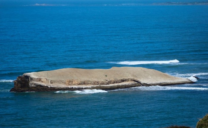
Greyhound Rock: Where’s the Hound?

Greyhound Rock: Where’s the Hound?

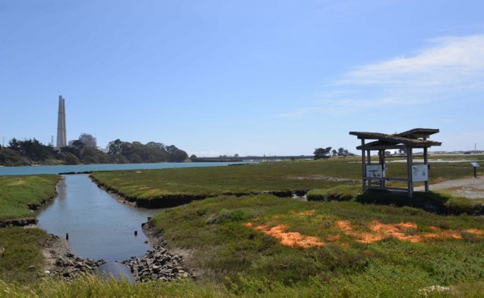
Elkhorn Slough: Interface Between Land and Sea

Elkhorn Slough: Interface Between Land and Sea

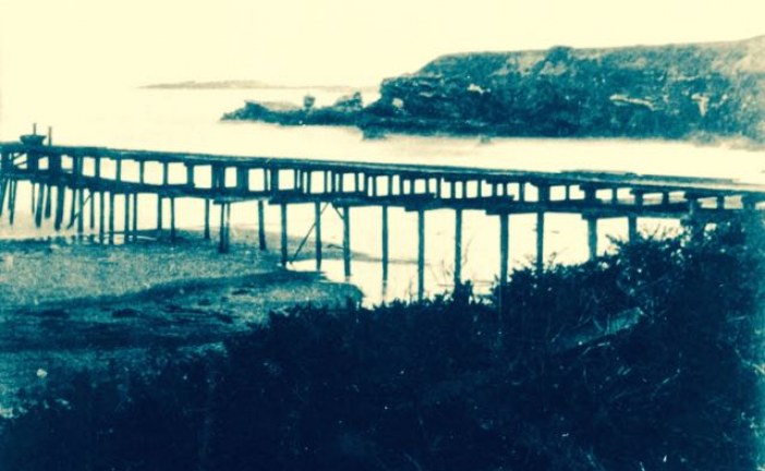
Waddell’s Wharf: Ordeals of Shipping Lumber from Año Nuevo Bay

Waddell’s Wharf: Ordeals of Shipping Lumber from Año Nuevo Bay

Santa Cruz’s Nuclear Power Plant That Almost Was

Santa Cruz’s Nuclear Power Plant That Almost Was

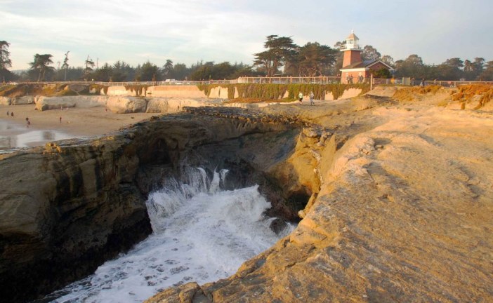
Caves and the Moving Lighthouses of Lighthouse Point

Caves and the Moving Lighthouses of Lighthouse Point

Surf’s up! Paleo Style

Surf’s up! Paleo Style

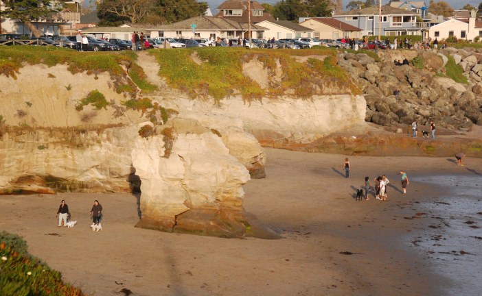
Mitchell Cove: Erosion of a Sea Stack

Mitchell Cove: Erosion of a Sea Stack

Latest News

  • Greyhound Rock: Where’s the Hound?

    2016/08/31
    by Ranger Lautamo
  • Elkhorn Slough: Interface Between Land and Sea

    2016/08/24
    by Ranger Gaudinski
  • Waddell’s Wharf: Ordeals of Shipping Lumber fro...

    2016/08/03
    by Ranger Lautamo
  • Santa Cruz’s Nuclear Power Plant That Alm...

    2016/07/27
    by Ranger Gaudinski
  • Caves and the Moving Lighthouses of Lighthouse ...

    2016/06/15
    by Ranger Gaudinski
  • Surf’s up! Paleo Style

    2016/04/21
    by Ranger Gaudinski
  • Mitchell Cove: Erosion of a Sea Stack

    2016/03/24
    by Ranger Gaudinski

The Waddell Bluffs: The Wall Keeps Tumbling Down

Posted by Ranger Gaudinski
|November 17, 2014
|in : Blog, Geology, Highway 1, History, Natural History, North Coast, Railroads, Santa Cruz, TempPopHomePage
| (2) Comments
|23290 Views
The Waddell Bluffs: The Wall Keeps Tumbling Down
Along Highway 1, sandwiched between the elephant seals at Año Nuevo State Park and the colorful kite surfers at Waddell Beach, is a 1.4-mile stretch of coastline called t...
Read more

The Loma Prieta Earthquake: Many Memories

Posted by Ranger Gaudinski
|October 16, 2014
|in : Blog, California, Geology, History, Santa Cruz
| (15) Comments
|19950 Views
The Loma Prieta Earthquake: Many Memories
The 25th anniversary of the Loma Prieta earthquake is tomorrow. The Loma Prieta earthquake was a major quake, with a magnitude of 6.9 on the Richter scale. Sixty three de...
Read more

The Wave Motor: Still Pumping

Posted by Ranger Gaudinski
|October 13, 2014
|in : Blog, Geology, History, Natural History, Santa Cruz, West Cliff Drive
| (4) Comments
|19817 Views
The Wave Motor: Still Pumping
Thanks to Archer Koch of MultiRotorCam.com, we are updating this story with his great aerial video of the wave motor pumping it out in February, 2015. Along West Cliff Dr...
Read more

Mount Lassen: Last but not Least!

Posted by Ranger Gaudinski
|September 12, 2014
|in : Blog, California, Geology
| 0 comments
|5415 Views
Mount Lassen: Last but not Least!
Cover photo by imtnbike. Most people in California don’t think much about Mount Lassen. You can only kind of see it as you drive up Interstate 5, Mount Shasta is bigger a...
Read more

From Three Bridges to an Arch

Posted by Ranger Gaudinski
|September 08, 2014
|in : Blog, Geology, History, Natural History, Santa Cruz, West Cliff Drive
| (1) Comment
|23607 Views
From Three Bridges to an Arch
Natural Bridges State Beach derives its name from three beautiful natural bridges that were present in the early 1900s. Today, only the middle one remains and technically...
Read more

Recent: Geologically Speaking

Posted by Ranger Gaudinski
|August 07, 2014
|in : Blog, Geology, Santa Cruz, West Cliff Drive
| 0 comments
|4143 Views
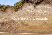
Recent: Geologically Speaking
The sediments at the top of this cliff face along West Cliff Drive are generally referred to as recent from a geological perspective. They are from the Quaternary Period,...
Read more

There’s Oil in Them Thar Sea Cliffs!

Posted by Ranger Gaudinski
|July 16, 2014
|in : Blog, Davenport, Geology, Highway 1, Natural History, North Coast
| 0 comments
|5165 Views
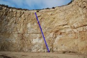
There’s Oil in Them Thar Sea Cliffs!
If you look in the northern most cove at Bonny Doon Beach, (yes, it’s the clothing-optional section), you will see a tall skinny dike of sandstone that cuts across...
Read more

From Valley to Ridge: Inverse Topography in California

Posted by Ranger Gaudinski
|May 23, 2014
|in : Blog, California, Geology, Natural History
| (2) Comments
|16736 Views
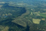
From Valley to Ridge: Inverse Topography in California
A striking 50 mile long ridge, Stanislaus Table Mountain was once a river valley – the ancestral Stanislaus River to be exact. Here is the story: Between 6-26 milli...
Read more

Castles in the Moving Sand

Posted by Ranger Gaudinski
|April 26, 2014
|in : Blog, Geology, History, Natural History, Santa Cruz
| (2) Comments
|8388 Views
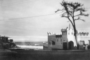
Castles in the Moving Sand
Seabright Beach used to be called Castle Beach because of the castle shaped bath house that was there between 1900 and 1967. The bath house cum castle was originally buil...
Read more

Hetch Hetchy Valley Before the Dam

Posted by Ranger Gaudinski
|March 31, 2014
|in : Blog, California, Geology, Natural History
| 0 comments
|7108 Views
Hetch Hetchy Valley Before the Dam
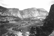
As a hiker in California, I always heard that Hetch Hetchy Valley was just as spectacular as Yosemite Valley before it was dammed in 1923 to provide water for San Francis...

Read more
1234

Search for a specific place or subject

Most Popular Posts

  • Marianne’s Ice Cream: Santa Cruz Locals’ Flavorite
  • Highway 35: Old La Honda Road Winds into the Past
  • Ohlone, Coastanoan or Awaswas: Correcting History’s Misnomers
  • Lulu Carpenter’s: The Sign of the Seamstress
  • Moffett Field’s Hangar One Goes from Navy’s Dirigibles to Google’s Robots
  • California’s Migrant Mother: An Unwilling Icon
  • Ghost Towns of Lexington Reservoir: Lexington
  • Bound for the Sea: Pilkington Creek

Highway 35/ Skyline Boulevard

  • Highway 35: Old La Honda Road Winds into the Past
  • Highway 35: Alice in Skylonda Land
  • The Making of Skyline Boulevard
  • Grizzly Flat: Why so much Open Space?
  • Skyline Boulevard: The Ever Evolving Saratoga Gap
  • Vista Point: The Heavens Above San Francisco Bay
  • Windy Hill: Open in the Hills of San Mateo County
  • Alpine Road: Gateway to Two Open Space Preserves

San Francisco

  • Why is the Golden Gate Bridge Orange?
  • The Pulgas Water Temple and the Hetch Hetchy Water System
  • Why MLK Came to the San Francisco Bay Area in 1964
  • The Accidental Discovery of San Francisco Bay
  • Shake it Off: How San Francisco Rebuilt Itself-Fast
  • The Golden Gate Bridge: End to the Era of Swashbuckling Bridgemen
  • Occupy Alcatraz: When the Red Power Movement Landed on Alcatraz
  • 1906 Quake Shacks that Won’t Quit

Follow

About Mobile Ranger

We provide you with inspiring stories and fun information about the natural and human history of interesting places. It's like having a park ranger with you.

Our one-of-a-kind self-guided mobile tours and blog posts help you connect to a place, either outside, at the site, or from your living room.

Download our apps about the Santa Cruz coast or read our blog posts about Santa Cruz, greater California, and beyond.

Local Knowledge and Passion

We work with historians, naturalists, and organizations whose experts know and love particular places. We use their deep knowledge to create great stories that bring their favorite places alive for you.

Do you or an organization you work or volunteer for have photos and high-quality natural or human history information about your local place? If you want to get it into an app and up on the web, contact Chief Ranger Julia Gaudinski: julia@mobileranger.com
  • Home
  • Blog
  • Press
  • About
  • Privacy Policy
Mobile Ranger