Mobile Ranger Mobile Ranger Mobile Ranger
  • Home
  • Tours
  • Blog
  • Clients
  • Press
  • About
Menu
  • Home
  • Tours
  • Blog
  • Clients
  • Press
  • About

Bulls, Harems, and Pups at Año Nuevo

Bulls, Harems, and Pups at Año Nuevo

Moffett Field’s Hangar One Goes from Navy’s Dirigibles to Google’s Robots

Moffett Field’s Hangar One Goes from Navy’s Dirigibles to Google’s Robots

Henrietta Shore and the Santa Cruz Post Office Murals

Henrietta Shore and the Santa Cruz Post Office Murals

California’s Migrant Mother: An Unwilling Icon

California’s Migrant Mother: An Unwilling Icon

The Pulgas Water Temple and the Hetch Hetchy Water System

The Pulgas Water Temple and the Hetch Hetchy Water System

The Cool Staircase-Shaped Hills North of Santa Cruz

The Cool Staircase-Shaped Hills North of Santa Cruz

Altamont Pass: What’s the Story With Those Windmills?

Altamont Pass: What’s the Story With Those Windmills?

Latest News

  • Bulls, Harems, and Pups at Año Nuevo

    2016/03/21
    by Ranger Lautamo
  • Moffett Field’s Hangar One Goes from Navy’...

    2016/02/25
    by Ranger Gaudinski
  • Henrietta Shore and the Santa Cruz Post Office ...

    2016/02/18
    by Joan Gilbert Martin
  • California’s Migrant Mother: An Unwilling...

    2015/07/27
    by Ranger Pirela
  • The Pulgas Water Temple and the Hetch Hetchy Wa...

    2015/04/19
    by Ranger Gaudinski
  • The Cool Staircase-Shaped Hills North of Santa ...

    2014/12/30
    by Ranger Gaudinski
  • Altamont Pass: What’s the Story With Thos...

    2014/11/19
    by Ranger Lautamo

Bulls, Harems, and Pups at Año Nuevo

Posted by Ranger Lautamo
|March 21, 2016
|in : Blog, California, Natural History, Oceans, Santa Cruz MPA Beaches Tour, TempPopHomePage, Wildlife
| (10) Comments
|19348 Views
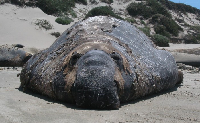
Bulls, Harems, and Pups at Año Nuevo
South of San Francisco, about 20 miles north of Santa Cruz along Highway 1, lies a beach hidden behind sand dunes covered in an undulating meadow of native grasses. From...
Read more

Moffett Field’s Hangar One Goes from Navy’s Dirigibles to Google’s Robots

Posted by Ranger Gaudinski
|February 25, 2016
|in : Blog, California, History, Popular, Silicon Valley, TempPopHomePage
| (23) Comments
|31278 Views
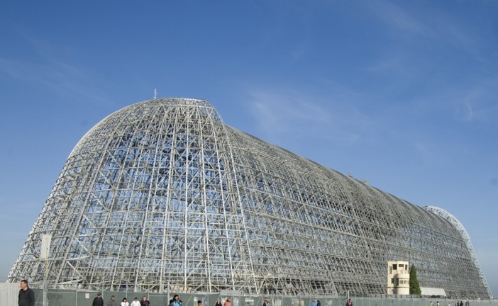
Moffett Field’s Hangar One Goes from Navy’s Dirigibles to Google’s Robots
Looking out over Silicon Valley, the airstrips of Moffett Field and its three gigantic hangars are a defining feature. The airfield is a bastion of open space surrounded...
Read more

Henrietta Shore and the Santa Cruz Post Office Murals

Posted by Joan Gilbert Martin
|February 18, 2016
|in : Blog, Downtown Historic-Art Tour, History, Lime Kilns, Santa Cruz, TempPopHomePage
| (18) Comments
|19868 Views
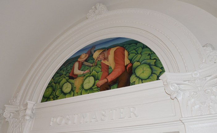
Henrietta Shore and the Santa Cruz Post Office Murals
The next time you are standing in line to mail a package or renew a passport in the downtown Santa Cruz, California post office, look at the four murals high on the walls...
Read more

California’s Migrant Mother: An Unwilling Icon

Posted by Ranger Pirela
|July 27, 2015
|in : Blog, California, History, TempPopHomePage
| (23) Comments
|28545 Views
California’s Migrant Mother: An Unwilling Icon
It was March of 1936, in the farms of southwest California. The woman pictured above had just sold her tires as a last, desperate effort to barter another day’s worth of...
Read more

The Pulgas Water Temple and the Hetch Hetchy Water System

Posted by Ranger Gaudinski
|April 19, 2015
|in : Blog, California, Highway 280, History, San Francisco, Silicon Valley, TempPopHomePage
| (2) Comments
|19450 Views
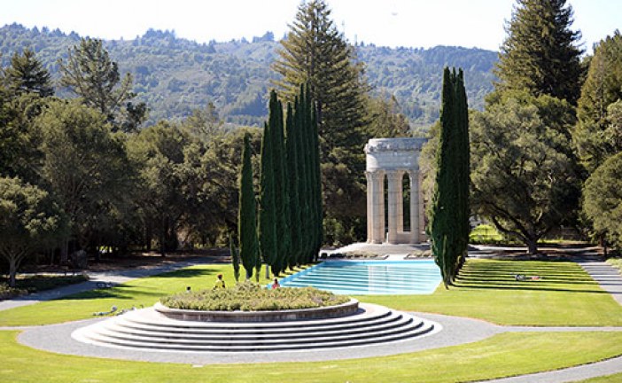
The Pulgas Water Temple and the Hetch Hetchy Water System
The Pulgas Water Temple sits in striking contrast to the coastal oak woodland that surrounds it in Redwood City, California. A huge stone structure, it’s majestic and ver...
Read more

The Cool Staircase-Shaped Hills North of Santa Cruz

Posted by Ranger Gaudinski
|December 30, 2014
|in : Blog, California, Geology, Highway 1, Natural History, Santa Cruz, TempPopHomePage
| (2) Comments
|20443 Views
The Cool Staircase-Shaped Hills North of Santa Cruz
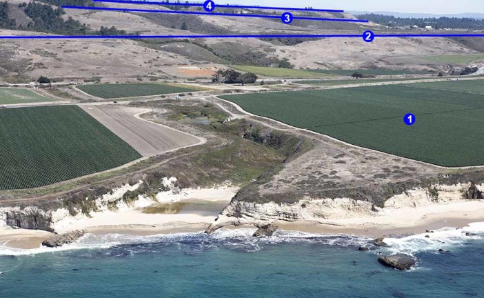
Have you ever wondered why much of the Westside of Santa Cruz and all the agricultural fields just north of it are so flat, or why many of the hills climb upwards like a...
Read more

Altamont Pass: What’s the Story With Those Windmills?

Posted by Ranger Lautamo
|November 19, 2014
|in : Blog, California, History, Popular, TempPopHomePage, Wildlife
| (5) Comments
|60874 Views
Altamont Pass: What’s the Story With Those Windmills?
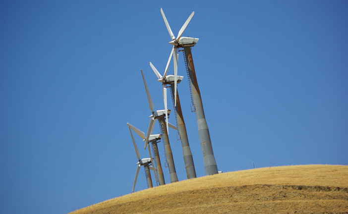
I’m sure many Californians have marveled at the thousands of wind turbines spinning atop the golden hillsides along Highway 580 between eastern Alameda and Contra Costa c...
Read more

The Waddell Bluffs: The Wall Keeps Tumbling Down

Posted by Ranger Gaudinski
|November 17, 2014
|in : Blog, Geology, Highway 1, History, Natural History, North Coast, Railroads, Santa Cruz, TempPopHomePage
| (2) Comments
|23286 Views
The Waddell Bluffs: The Wall Keeps Tumbling Down
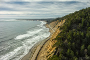
Along Highway 1, sandwiched between the elephant seals at Año Nuevo State Park and the colorful kite surfers at Waddell Beach, is a 1.4-mile stretch of coastline called t...
Read more

Patricia M. Scully: Her Memorial Road Sign Matters

Posted by Ranger Gaudinski
|November 18, 2013
|in : Blog, California, Highway 1, History, TempPopHomePage
| (8) Comments
|16523 Views
Patricia M. Scully: Her Memorial Road Sign Matters
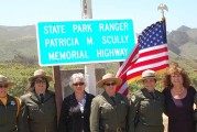
As a college student in the late 1980s I frequently drove from my mom’s house just north of San Francisco to college in Santa Cruz along Highway 1. The drive is stunning....

Read more

Search for a specific place or subject

Most Popular Posts

  • Marianne’s Ice Cream: Santa Cruz Locals’ Flavorite
  • Highway 35: Old La Honda Road Winds into the Past
  • Ohlone, Coastanoan or Awaswas: Correcting History’s Misnomers
  • Lulu Carpenter’s: The Sign of the Seamstress
  • Moffett Field’s Hangar One Goes from Navy’s Dirigibles to Google’s Robots
  • California’s Migrant Mother: An Unwilling Icon
  • Ghost Towns of Lexington Reservoir: Lexington
  • Bound for the Sea: Pilkington Creek

Highway 35/ Skyline Boulevard

  • Highway 35: Old La Honda Road Winds into the Past
  • Highway 35: Alice in Skylonda Land
  • The Making of Skyline Boulevard
  • Grizzly Flat: Why so much Open Space?
  • Skyline Boulevard: The Ever Evolving Saratoga Gap
  • Vista Point: The Heavens Above San Francisco Bay
  • Windy Hill: Open in the Hills of San Mateo County
  • Alpine Road: Gateway to Two Open Space Preserves

San Francisco

  • Why is the Golden Gate Bridge Orange?
  • The Pulgas Water Temple and the Hetch Hetchy Water System
  • Why MLK Came to the San Francisco Bay Area in 1964
  • The Accidental Discovery of San Francisco Bay
  • Shake it Off: How San Francisco Rebuilt Itself-Fast
  • The Golden Gate Bridge: End to the Era of Swashbuckling Bridgemen
  • Occupy Alcatraz: When the Red Power Movement Landed on Alcatraz
  • 1906 Quake Shacks that Won’t Quit

Follow

About Mobile Ranger

We provide you with inspiring stories and fun information about the natural and human history of interesting places. It's like having a park ranger with you.

Our one-of-a-kind self-guided mobile tours and blog posts help you connect to a place, either outside, at the site, or from your living room.

Download our apps about the Santa Cruz coast or read our blog posts about Santa Cruz, greater California, and beyond.

Local Knowledge and Passion

We work with historians, naturalists, and organizations whose experts know and love particular places. We use their deep knowledge to create great stories that bring their favorite places alive for you.

Do you or an organization you work or volunteer for have photos and high-quality natural or human history information about your local place? If you want to get it into an app and up on the web, contact Chief Ranger Julia Gaudinski: julia@mobileranger.com
  • Home
  • Blog
  • Press
  • About
  • Privacy Policy
Mobile Ranger