Mobile Ranger Mobile Ranger Mobile Ranger
  • Home
  • Tours
  • Blog
  • Clients
  • Press
  • About
Menu
  • Home
  • Tours
  • Blog
  • Clients
  • Press
  • About

Sempervirens Point

Sempervirens Point

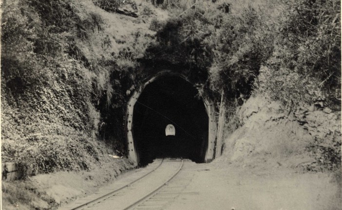
The Yesteryear of Mission Hill Tunnel

The Yesteryear of Mission Hill Tunnel

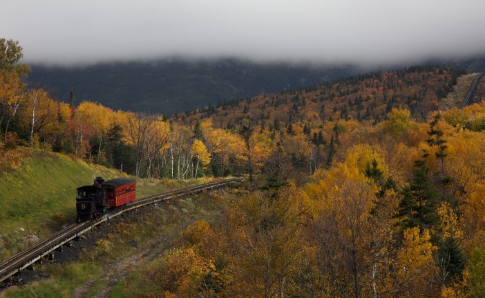
Full Steam Ahead for New Hampshire’s Railroad

Full Steam Ahead for New Hampshire’s Railroad

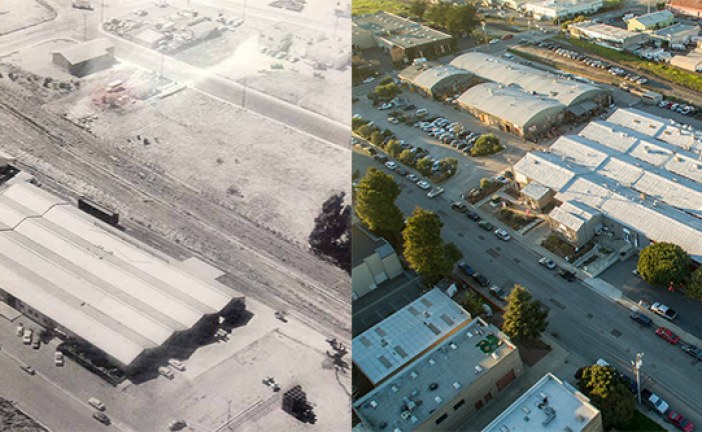
Swift and Ingalls Streets: Then and Now on the Westside of Santa Cruz

Swift and Ingalls Streets: Then and Now on the Westside of Santa Cruz

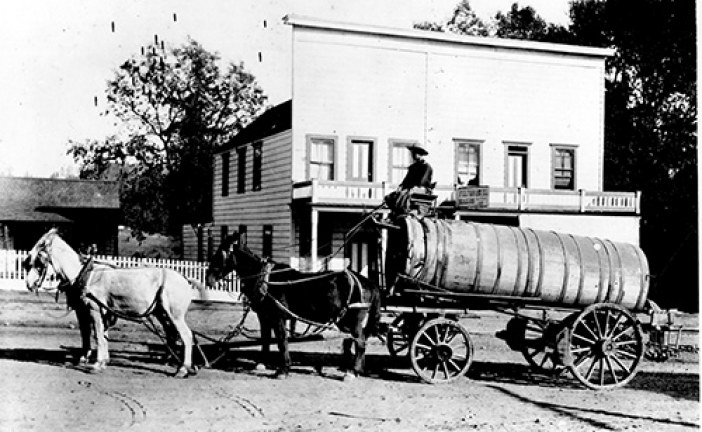
The Cremer House: Scandalous Stories From Felton’s Oldest Building

The Cremer House: Scandalous Stories From Felton’s Oldest Building

Is Highway 17 That Dangerous or Is It Just Laurel Curve?

Is Highway 17 That Dangerous or Is It Just Laurel Curve?

The Waddell Bluffs: The Wall Keeps Tumbling Down

The Waddell Bluffs: The Wall Keeps Tumbling Down

Latest News

  • Sempervirens Point

    2016/02/08
    by Skyline Historical Society
  • The Yesteryear of Mission Hill Tunnel

    2016/01/25
    by Linda Rosewood
  • Full Steam Ahead for New Hampshire’s Rail...

    2015/09/03
    by Ranger Voss
  • Swift and Ingalls Streets: Then and Now on the ...

    2015/03/02
    by Ranger Gaudinski
  • The Cremer House: Scandalous Stories From Felto...

    2015/01/25
    by Ranger Lautamo
  • Is Highway 17 That Dangerous or Is It Just Laur...

    2014/12/17
    by Ranger Lautamo
  • The Waddell Bluffs: The Wall Keeps Tumbling Dow...

    2014/11/17
    by Ranger Gaudinski

Sempervirens Point

Posted by Skyline Historical Society
|February 08, 2016
|in : Blog, History, Railroads, South Skyline Boulvard
| 0 comments
|7438 Views
Sempervirens Point
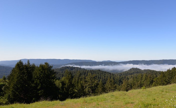
Sempervirens Point is located off Highway 9 about two miles southwest of the Skyline Boulevard (Highway 35) junction. On a clear day, the view of Monterey Bay from Semper...
Read more

The Yesteryear of Mission Hill Tunnel

Posted by Linda Rosewood
|January 25, 2016
|in : Blog, History, Mission Hill Staircase, Railroads, Santa Cruz
| (1) Comment
|8412 Views
The Yesteryear of Mission Hill Tunnel
Today’s Chestnut Street in downtown Santa Cruz, California is a quiet residential street, with the occasional passing of Roaring Camp’s Santa Cruz Beach Train...
Read more

Full Steam Ahead for New Hampshire’s Railroad

Posted by Ranger Voss
|September 03, 2015
|in : Blog, History, Railroads
| 0 comments
|3974 Views
Full Steam Ahead for New Hampshire’s Railroad
What do Thomas the Tank Engine, the Industrial Revolution, and little picky eaters all have in common? They owe their success to trains. The Rise of the Railroad Clackety...
Read more

Swift and Ingalls Streets: Then and Now on the Westside of Santa Cruz

Posted by Ranger Gaudinski
|March 02, 2015
|in : Blog, History, Railroads, Santa Cruz, West Cliff Drive
| (3) Comments
|9264 Views
Swift and Ingalls Streets: Then and Now on the Westside of Santa Cruz
Today, the Swift Street Courtyard area, in combination with the adjoining businesses off of Ingalls Street, has become a nexus for locals who like fresh local products, c...
Read more

The Cremer House: Scandalous Stories From Felton’s Oldest Building

Posted by Ranger Lautamo
|January 25, 2015
|in : Blog, History, Railroads, Santa Cruz
| (10) Comments
|24667 Views
The Cremer House: Scandalous Stories From Felton’s Oldest Building
The Creamer Hotel in Felton, California (now known as the Cremer House) is rumored to have harbored both prostitutes and contraband liquor within its sturdy walls. As the...
Read more

Is Highway 17 That Dangerous or Is It Just Laurel Curve?

Posted by Ranger Lautamo
|December 17, 2014
|in : Blog, Highway 17, History, Los Gatos, Railroads, Santa Cruz
| (14) Comments
|63598 Views
Is Highway 17 That Dangerous or Is It Just Laurel Curve?
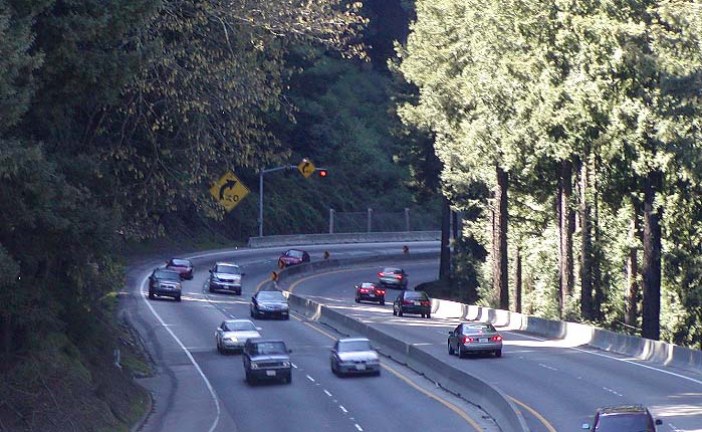
The narrow lanes and dangerously tight curves of California’s Highway 17 have earned it ominous nicknames like “Killer 17” and “Blood Alley”. In the mid-60s philanthropis...
Read more

The Waddell Bluffs: The Wall Keeps Tumbling Down

Posted by Ranger Gaudinski
|November 17, 2014
|in : Blog, Geology, Highway 1, History, Natural History, North Coast, Railroads, Santa Cruz, TempPopHomePage
| (2) Comments
|23287 Views
The Waddell Bluffs: The Wall Keeps Tumbling Down
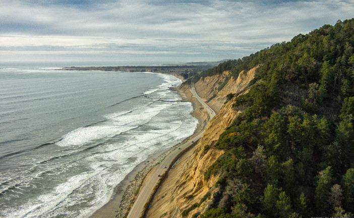
Along Highway 1, sandwiched between the elephant seals at Año Nuevo State Park and the colorful kite surfers at Waddell Beach, is a 1.4-mile stretch of coastline called t...
Read more

Railroad Embankments on Santa Cruz’s North Coast: Why You Can’t See the Ocean More!

Posted by Ranger Gaudinski
|September 15, 2014
|in : Blog, Highway 1, Natural History, North Coast, Railroads, Santa Cruz
| (4) Comments
|13022 Views
Railroad Embankments on Santa Cruz’s North Coast: Why You Can’t See the Ocean More!
If you’re a local you may have wondered why you can’t see the ocean very often when you drive between Santa Cruz and Davenport. It’s because every creek...
Read more

The Railroads of Santa Cruz County: From Blog to Book

Posted by Derek Whaley
|October 29, 2013
|in : Blog, Railroads, Santa Cruz
| (4) Comments
|9260 Views
The Railroads of Santa Cruz County: From Blog to Book
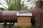
A rusty old boiler sits across from the photo studio at Roaring Camp Railroads. It has been there for as long as I can remember. It is my earliest memory of a train thing...
Read more

Search for a specific place or subject

Most Popular Posts

  • Marianne’s Ice Cream: Santa Cruz Locals’ Flavorite
  • Highway 35: Old La Honda Road Winds into the Past
  • Ohlone, Coastanoan or Awaswas: Correcting History’s Misnomers
  • Lulu Carpenter’s: The Sign of the Seamstress
  • Moffett Field’s Hangar One Goes from Navy’s Dirigibles to Google’s Robots
  • California’s Migrant Mother: An Unwilling Icon
  • Ghost Towns of Lexington Reservoir: Lexington
  • Bound for the Sea: Pilkington Creek

Highway 35/ Skyline Boulevard

  • Highway 35: Old La Honda Road Winds into the Past
  • Highway 35: Alice in Skylonda Land
  • The Making of Skyline Boulevard
  • Grizzly Flat: Why so much Open Space?
  • Skyline Boulevard: The Ever Evolving Saratoga Gap
  • Vista Point: The Heavens Above San Francisco Bay
  • Windy Hill: Open in the Hills of San Mateo County
  • Alpine Road: Gateway to Two Open Space Preserves

San Francisco

  • Why is the Golden Gate Bridge Orange?
  • The Pulgas Water Temple and the Hetch Hetchy Water System
  • Why MLK Came to the San Francisco Bay Area in 1964
  • The Accidental Discovery of San Francisco Bay
  • Shake it Off: How San Francisco Rebuilt Itself-Fast
  • The Golden Gate Bridge: End to the Era of Swashbuckling Bridgemen
  • Occupy Alcatraz: When the Red Power Movement Landed on Alcatraz
  • 1906 Quake Shacks that Won’t Quit

Follow

About Mobile Ranger

We provide you with inspiring stories and fun information about the natural and human history of interesting places. It's like having a park ranger with you.

Our one-of-a-kind self-guided mobile tours and blog posts help you connect to a place, either outside, at the site, or from your living room.

Download our apps about the Santa Cruz coast or read our blog posts about Santa Cruz, greater California, and beyond.

Local Knowledge and Passion

We work with historians, naturalists, and organizations whose experts know and love particular places. We use their deep knowledge to create great stories that bring their favorite places alive for you.

Do you or an organization you work or volunteer for have photos and high-quality natural or human history information about your local place? If you want to get it into an app and up on the web, contact Chief Ranger Julia Gaudinski: julia@mobileranger.com
  • Home
  • Blog
  • Press
  • About
  • Privacy Policy
Mobile Ranger