Mobile Ranger Mobile Ranger Mobile Ranger
  • Home
  • Tours
  • Blog
  • Clients
  • Press
  • About
Menu
  • Home
  • Tours
  • Blog
  • Clients
  • Press
  • About

Greyhound Rock: Where’s the Hound?

Greyhound Rock: Where’s the Hound?

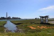
Elkhorn Slough: Interface Between Land and Sea

Elkhorn Slough: Interface Between Land and Sea

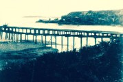
Waddell’s Wharf: Ordeals of Shipping Lumber from Año Nuevo Bay

Waddell’s Wharf: Ordeals of Shipping Lumber from Año Nuevo Bay

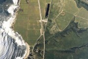
Santa Cruz’s Nuclear Power Plant That Almost Was

Santa Cruz’s Nuclear Power Plant That Almost Was

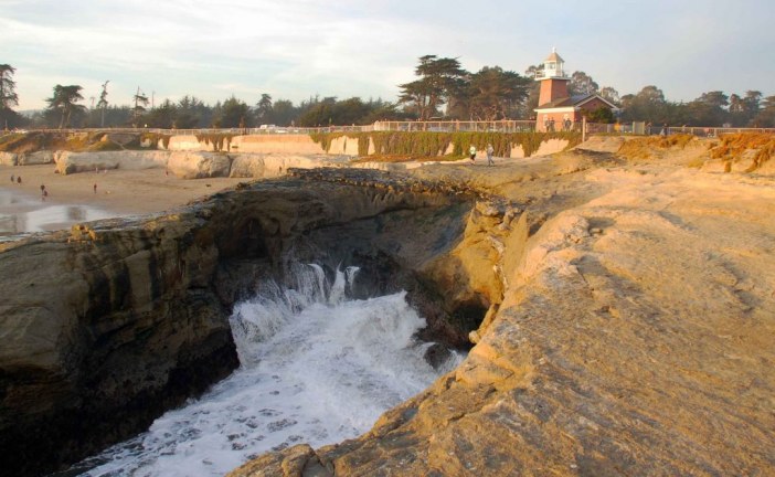
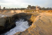
Caves and the Moving Lighthouses of Lighthouse Point

Caves and the Moving Lighthouses of Lighthouse Point

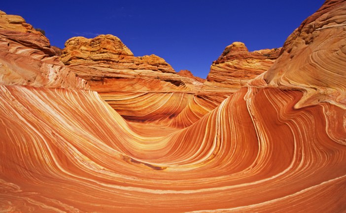
Surf’s up! Paleo Style

Surf’s up! Paleo Style

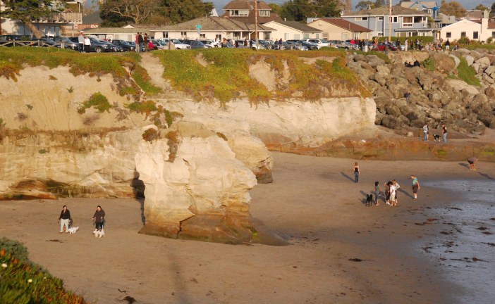
Mitchell Cove: Erosion of a Sea Stack

Mitchell Cove: Erosion of a Sea Stack

Latest News

  • Greyhound Rock: Where’s the Hound?

    2016/08/31
    by Ranger Lautamo
  • Elkhorn Slough: Interface Between Land and Sea

    2016/08/24
    by Ranger Gaudinski
  • Waddell’s Wharf: Ordeals of Shipping Lumber fro...

    2016/08/03
    by Ranger Lautamo
  • Santa Cruz’s Nuclear Power Plant That Alm...

    2016/07/27
    by Ranger Gaudinski
  • Caves and the Moving Lighthouses of Lighthouse ...

    2016/06/15
    by Ranger Gaudinski
  • Surf’s up! Paleo Style

    2016/04/21
    by Ranger Gaudinski
  • Mitchell Cove: Erosion of a Sea Stack

    2016/03/24
    by Ranger Gaudinski

Greyhound Rock: Where’s the Hound?

Posted by Ranger Lautamo
|August 31, 2016
|in : Blog, California, Geology, History, Oceans, Santa Cruz, Santa Cruz MPA Beaches Tour
| (2) Comments
|11693 Views
Greyhound Rock: Where’s the Hound?
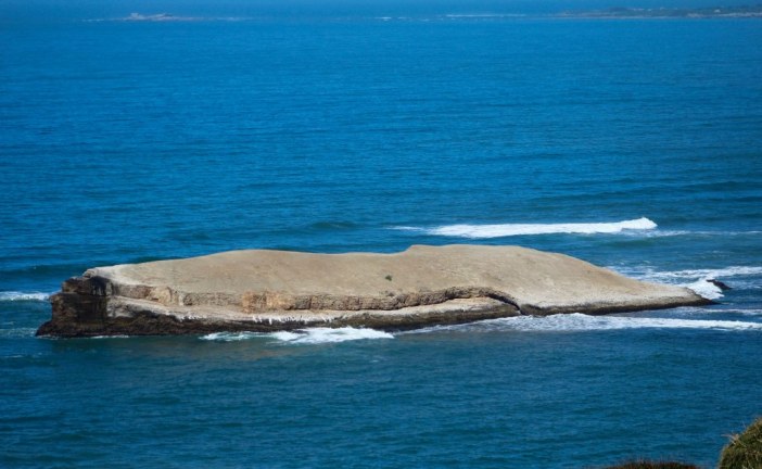
Greyhound Rock is named for the beach’s large rock formation that sits stoically offshore in the crashing waves. Usually, the rock is connected to the beach by a small sa...
Read more

Elkhorn Slough: Interface Between Land and Sea

Posted by Ranger Gaudinski
|August 24, 2016
|in : Blog, California, Geology, Highway 1, History, Natural History, Oceans, Santa Cruz, Santa Cruz MPA Beaches Tour
| (2) Comments
|11620 Views
Elkhorn Slough: Interface Between Land and Sea
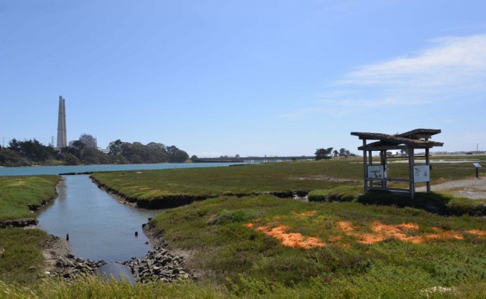
At Moss Landing, Highway 1 crosses over Elkhorn Slough, one of the largest estuaries in California. Estuaries are places where the sea meets freshwater. They are home to...
Read more

Waddell’s Wharf: Ordeals of Shipping Lumber from Año Nuevo Bay

Posted by Ranger Lautamo
|August 03, 2016
|in : Blog, California, Geology, History, Santa Cruz, Santa Cruz MPA Beaches Tour
| 0 comments
|5804 Views
Waddell’s Wharf: Ordeals of Shipping Lumber from Año Nuevo Bay
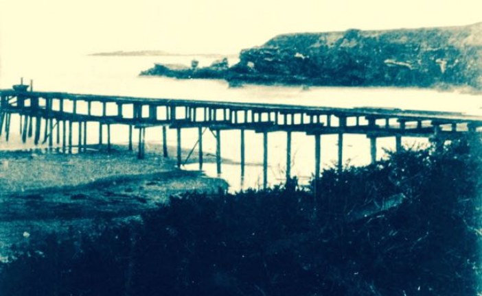
Over 150 years ago, the coastline at Año Nuevo State Park, between San Francisco and Santa Cruz, California, was home to a bustling lumber industry. Even though the wharf...
Read more

Santa Cruz’s Nuclear Power Plant That Almost Was

Posted by Ranger Gaudinski
|July 27, 2016
|in : Blog, California, Geology, Highway 1, History, Natural History, Oceans, Santa Cruz, Santa Cruz MPA Beaches Tour
| (2) Comments
|10296 Views
Santa Cruz’s Nuclear Power Plant That Almost Was
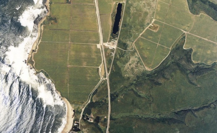
​Greyhound Rock lies right next to one of the major faults within the San Gregorio Fault Zone. This fact might be no big surprise in earthquake-prone California, but what...
Read more

Caves and the Moving Lighthouses of Lighthouse Point

Posted by Ranger Gaudinski
|June 15, 2016
|in : Blog, Geology, History, Natural History, Santa Cruz, West Cliff Drive
| (2) Comments
|10415 Views
Caves and the Moving Lighthouses of Lighthouse Point
Lighthouse Point in Santa Cruz, California, is surrounded by world class surf spots and amazing views. It’s named for the lighthouse built to commemorate a local bo...
Read more

Surf’s up! Paleo Style

Posted by Ranger Gaudinski
|April 21, 2016
|in : Blog, Geology, Oceans
| 0 comments
|3357 Views
Surf’s up! Paleo Style
Have you ever ridden a sand wave? Chances are you probably didn’t ride this one. It’s not at Mavericks, and it’s 200 million years old. Originally a sand dune up to...
Read more

Mitchell Cove: Erosion of a Sea Stack

Posted by Ranger Gaudinski
|March 24, 2016
|in : Blog, Geology, Santa Cruz
| (2) Comments
|7822 Views
Mitchell Cove: Erosion of a Sea Stack
Mitchell Cove beach, along West Cliff Drive in Santa Cruz, California, has lost its stack. Its iconic rock tower, or sea stack to be more precise, is now merely a rock as...
Read more

Bonny Doon Beach: Railroads and Oil

Posted by Ranger Gaudinski
|March 03, 2016
|in : Blog, California, Geology, History, North Coast, Oceans
| (14) Comments
|24770 Views
Bonny Doon Beach: Railroads and Oil
California’s Bonny Doon Beach is home to wide-open sands, a creek that runs through it, and even a clothing-optional section to the right of the chunk of Santa Cruz...
Read more

The Sandhills of Santa Cruz: There’s Shark Teeth Underneath

Posted by Ranger Salazar
|September 17, 2015
|in : Blog, Geology, Natural History, Santa Cruz, Wildlife
| (18) Comments
|28769 Views
The Sandhills of Santa Cruz: There’s Shark Teeth Underneath
Post Updated on June 22, 2016 Santa Cruz’s Sandhill habitat is highly sensitive so it is important to stay on designated paths when visiting them. The Sandhills in...
Read more

Bucking the Trend: Mount St. Helens Grows a Glacier

Posted by Ranger Pirela
|August 20, 2015
|in : Blog, Geology, Natural History
| (2) Comments
|9456 Views
Bucking the Trend: Mount St. Helens Grows a Glacier
The eruption of Mount St. Helens forever holds a place in the memories of many people across the nation. On May 18, 1980, Washington’s great mountain received a geologica...

Read more
1234

Search for a specific place or subject

Most Popular Posts

  • Marianne’s Ice Cream: Santa Cruz Locals’ Flavorite
  • Highway 35: Old La Honda Road Winds into the Past
  • Ohlone, Coastanoan or Awaswas: Correcting History’s Misnomers
  • Lulu Carpenter’s: The Sign of the Seamstress
  • Moffett Field’s Hangar One Goes from Navy’s Dirigibles to Google’s Robots
  • California’s Migrant Mother: An Unwilling Icon
  • Ghost Towns of Lexington Reservoir: Lexington
  • Bound for the Sea: Pilkington Creek

Highway 35/ Skyline Boulevard

  • Highway 35: Old La Honda Road Winds into the Past
  • Highway 35: Alice in Skylonda Land
  • The Making of Skyline Boulevard
  • Grizzly Flat: Why so much Open Space?
  • Skyline Boulevard: The Ever Evolving Saratoga Gap
  • Vista Point: The Heavens Above San Francisco Bay
  • Windy Hill: Open in the Hills of San Mateo County
  • Alpine Road: Gateway to Two Open Space Preserves

San Francisco

  • Why is the Golden Gate Bridge Orange?
  • The Pulgas Water Temple and the Hetch Hetchy Water System
  • Why MLK Came to the San Francisco Bay Area in 1964
  • The Accidental Discovery of San Francisco Bay
  • Shake it Off: How San Francisco Rebuilt Itself-Fast
  • The Golden Gate Bridge: End to the Era of Swashbuckling Bridgemen
  • Occupy Alcatraz: When the Red Power Movement Landed on Alcatraz
  • 1906 Quake Shacks that Won’t Quit

Follow

About Mobile Ranger

We provide you with inspiring stories and fun information about the natural and human history of interesting places. It's like having a park ranger with you.

Our one-of-a-kind self-guided mobile tours and blog posts help you connect to a place, either outside, at the site, or from your living room.

Download our apps about the Santa Cruz coast or read our blog posts about Santa Cruz, greater California, and beyond.

Local Knowledge and Passion

We work with historians, naturalists, and organizations whose experts know and love particular places. We use their deep knowledge to create great stories that bring their favorite places alive for you.

Do you or an organization you work or volunteer for have photos and high-quality natural or human history information about your local place? If you want to get it into an app and up on the web, contact Chief Ranger Julia Gaudinski: julia@mobileranger.com
  • Home
  • Blog
  • Press
  • About
  • Privacy Policy
Mobile Ranger