Mobile Ranger Mobile Ranger Mobile Ranger
  • Home
  • Tours
  • Blog
  • Clients
  • Press
  • About
Menu
  • Home
  • Tours
  • Blog
  • Clients
  • Press
  • About

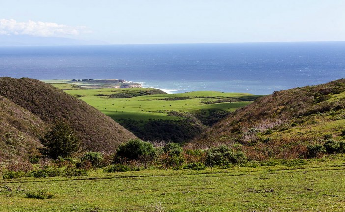
The History of Dairy in Santa Cruz

The History of Dairy in Santa Cruz

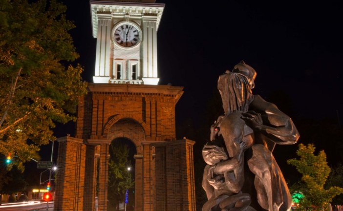
The Hidden “Collateral Damage” in Santa Cruz

The Hidden “Collateral Damage” in Santa Cruz

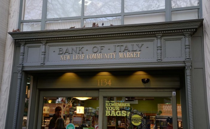
How Santa Cruz’s Bank of Italy Turned a New Leaf

How Santa Cruz’s Bank of Italy Turned a New Leaf

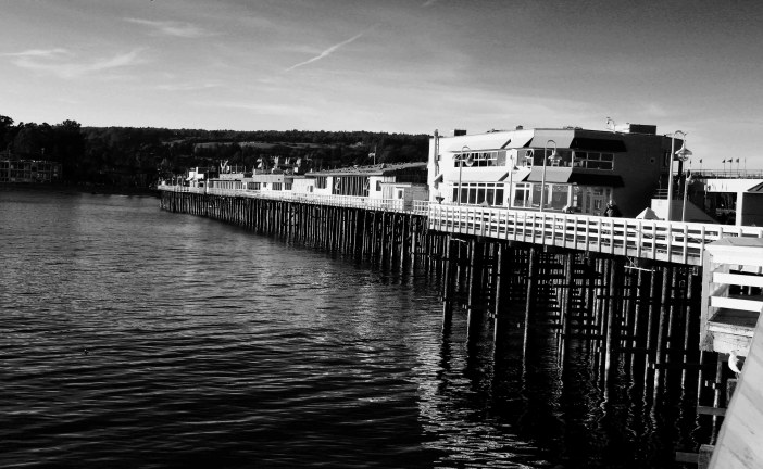
Santa Cruz’s Many Wharves: From Lime and Lumber to Ecotourism

Santa Cruz’s Many Wharves: From Lime and Lumber to Ecotourism

Elkhorn Slough: From Salt Ponds to Bird Sanctuary

Elkhorn Slough: From Salt Ponds to Bird Sanctuary

Monterey Bay’s Long-Running Red Tide of 2016

Monterey Bay’s Long-Running Red Tide of 2016

SS Palo Alto: War Ship, Night Club, Seal Hang Out, and Modern Art Hotspot

SS Palo Alto: War Ship, Night Club, Seal Hang Out, and Modern Art Hotspot

Latest News

  • The History of Dairy in Santa Cruz

    2016/12/15
    by The Santa Cruz Heritage Food Project
  • The Hidden “Collateral Damage” in S...

    2016/12/08
    by Alan Christy
  • How Santa Cruz’s Bank of Italy Turned a N...

    2016/12/01
    by Linda Rosewood
  • Santa Cruz’s Many Wharves: From Lime and ...

    2016/11/17
    by Ranger Gaudinski
  • Elkhorn Slough: From Salt Ponds to Bird Sanctua...

    2016/11/02
    by Ranger Lautamo
  • Monterey Bay’s Long-Running Red Tide of 2...

    2016/10/27
    by Ranger Gaudinski
  • SS Palo Alto: War Ship, Night Club, Seal Hang O...

    2016/10/19
    by Ranger Gaudinski

Santa Cruz’s Westside: Millionaire’s Row

Posted by Ranger Gaudinski
|December 21, 2014
|in : Blog, History, Santa Cruz, West Cliff Drive
| (1) Comment
|16317 Views
Santa Cruz’s Westside: Millionaire’s Row
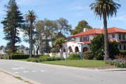
In the early 1900s, the area from Lighthouse Point to Bay Street was often called Millionaire’s Row because of its many fine mansions. Most of the mansions were in...
Read more

Is Highway 17 That Dangerous or Is It Just Laurel Curve?

Posted by Ranger Lautamo
|December 17, 2014
|in : Blog, Highway 17, History, Los Gatos, Railroads, Santa Cruz
| (14) Comments
|63613 Views
Is Highway 17 That Dangerous or Is It Just Laurel Curve?
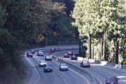
The narrow lanes and dangerously tight curves of California’s Highway 17 have earned it ominous nicknames like “Killer 17” and “Blood Alley”. In the mid-60s philanthropis...
Read more

San Lorenzo Park: Bowling on the Floodplain!

Posted by Coastal Watershed Council
|December 14, 2014
|in : Blog, Natural History, San Lorenzo River, Santa Cruz
| 0 comments
|5268 Views
San Lorenzo Park: Bowling on the Floodplain!
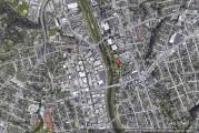
All of downtown Santa Cruz is essentially built on the natural floodplain of the San Lorenzo River. Structures to control flooding along the river have been built since t...
Read more

Monterey Submarine Canyon: An Amazing Traveling Canyon!

Posted by Ranger Gaudinski
|December 10, 2014
|in : Blog, California, Geology, Highway 1, Natural History, Oceans
| (1) Comment
|25411 Views
Monterey Submarine Canyon: An Amazing Traveling Canyon!
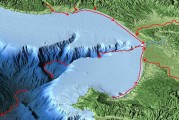
Picture the Grand Canyon under water. Then you’ll have the right scale in your mind when thinking about the Monterey Canyon in California. It is truly a huge underw...
Read more

Mysterious Mima Mounds: The Case for Gophers

Posted by Ranger Gaudinski
|December 03, 2014
|in : Blog, Natural History, Santa Cruz, UCSC Campus, Wildlife
| 0 comments
|6654 Views
Mysterious Mima Mounds: The Case for Gophers
On the rolling fields of the lower UCSC campus lies a geological mystery that still puzzles scientists to this day. Dubbed “Mima Meadow,” it is a terrain covered in small...
Read more

Beyond Lumber: The Eucalyptus-Malaria Connection

Posted by Ranger Gaudinski
|November 29, 2014
|in : Blog, California, History, Natural History
| (2) Comments
|9269 Views
Beyond Lumber: The Eucalyptus-Malaria Connection
Many Californians know eucalyptus trees were brought to California in the late 1800s for lumber. They were planted extensively from the 1870s through the early 1900s. In...
Read more

A Thanksgiving Feast from the Year 1900

Posted by Ranger Lautamo
|November 26, 2014
|in : Blog, Highway 17, History, Los Gatos
| 0 comments
|11019 Views
A Thanksgiving Feast from the Year 1900
How many of us can say our family serves larded tenderloin of beef or clear green turtle for Thanksgiving dinner? I’m guessing not many, but beef, turtle, duck, lamb and...
Read more

Sea Foam: It’s What’s for Dessert!

Posted by Ranger Gaudinski
|November 24, 2014
|in : Blog, California, Marine Life Guide, Natural History, Oceans
| 0 comments
|27432 Views
Sea Foam: It’s What’s for Dessert!
Storms and high winds along coastlines can produce large masses of sea foam. It can form foamy rafts on the water and pile up on beaches, rocky shores, and cliffs. Sea fo...
Read more

Altamont Pass: What’s the Story With Those Windmills?

Posted by Ranger Lautamo
|November 19, 2014
|in : Blog, California, History, Popular, TempPopHomePage, Wildlife
| (5) Comments
|60881 Views
Altamont Pass: What’s the Story With Those Windmills?
I’m sure many Californians have marveled at the thousands of wind turbines spinning atop the golden hillsides along Highway 580 between eastern Alameda and Contra Costa c...
Read more

The Waddell Bluffs: The Wall Keeps Tumbling Down

Posted by Ranger Gaudinski
|November 17, 2014
|in : Blog, Geology, Highway 1, History, Natural History, North Coast, Railroads, Santa Cruz, TempPopHomePage
| (2) Comments
|23290 Views
The Waddell Bluffs: The Wall Keeps Tumbling Down
Along Highway 1, sandwiched between the elephant seals at Año Nuevo State Park and the colorful kite surfers at Waddell Beach, is a 1.4-mile stretch of coastline called t...

Read more
«‹141516171819202122›»

Search for a specific place or subject

Most Popular Posts

  • Marianne’s Ice Cream: Santa Cruz Locals’ Flavorite
  • Highway 35: Old La Honda Road Winds into the Past
  • Ohlone, Coastanoan or Awaswas: Correcting History’s Misnomers
  • Lulu Carpenter’s: The Sign of the Seamstress
  • Moffett Field’s Hangar One Goes from Navy’s Dirigibles to Google’s Robots
  • California’s Migrant Mother: An Unwilling Icon
  • Ghost Towns of Lexington Reservoir: Lexington
  • Bound for the Sea: Pilkington Creek

Highway 35/ Skyline Boulevard

  • Highway 35: Old La Honda Road Winds into the Past
  • Highway 35: Alice in Skylonda Land
  • The Making of Skyline Boulevard
  • Grizzly Flat: Why so much Open Space?
  • Skyline Boulevard: The Ever Evolving Saratoga Gap
  • Vista Point: The Heavens Above San Francisco Bay
  • Windy Hill: Open in the Hills of San Mateo County
  • Alpine Road: Gateway to Two Open Space Preserves

San Francisco

  • Why is the Golden Gate Bridge Orange?
  • The Pulgas Water Temple and the Hetch Hetchy Water System
  • Why MLK Came to the San Francisco Bay Area in 1964
  • The Accidental Discovery of San Francisco Bay
  • Shake it Off: How San Francisco Rebuilt Itself-Fast
  • The Golden Gate Bridge: End to the Era of Swashbuckling Bridgemen
  • Occupy Alcatraz: When the Red Power Movement Landed on Alcatraz
  • 1906 Quake Shacks that Won’t Quit

Follow

About Mobile Ranger

We provide you with inspiring stories and fun information about the natural and human history of interesting places. It's like having a park ranger with you.

Our one-of-a-kind self-guided mobile tours and blog posts help you connect to a place, either outside, at the site, or from your living room.

Download our apps about the Santa Cruz coast or read our blog posts about Santa Cruz, greater California, and beyond.

Local Knowledge and Passion

We work with historians, naturalists, and organizations whose experts know and love particular places. We use their deep knowledge to create great stories that bring their favorite places alive for you.

Do you or an organization you work or volunteer for have photos and high-quality natural or human history information about your local place? If you want to get it into an app and up on the web, contact Chief Ranger Julia Gaudinski: julia@mobileranger.com
  • Home
  • Blog
  • Press
  • About
  • Privacy Policy
Mobile Ranger